Field trips
Students
taking the Earth Science Programme can participate in various Field Trips:

The 1st yr Field Skills module covers a range of aspects, such as defining lithological packages, recognizing map scale; working
with topographic maps and aerial photos; identification
of sedimentary, metamorphic and igneous rocks and structures
in the field and their depositional or emplacement significance,
practical consideration of the natural environment; understanding impacts of climate change.
The 2nd and 3rd year Field Skills modules will cover aspects such as defining lithological packages,
recognizing map scale; use of structural compasses to record
structural information and geological map construction; working
with topographic maps and aerial photos; identification
of sedimentary, metamorphic and igneous rocks and structures
in the field and their depositional or emplacement significance;
ore deposit indicators and rock associations; practical consideration
of environmental systems and geochemistry of estuaries.
Ganzekraal:
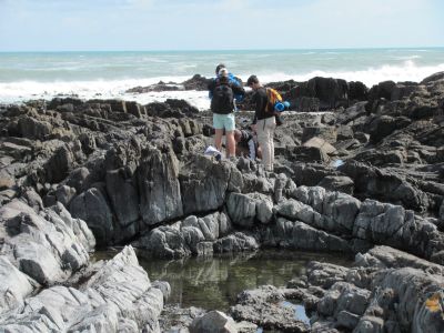
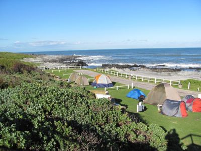
Student feedback: "The first in-field experience that a geology student encounters at Stellenbosch University is the second year trip to Ganzekraal. The trip has a specific focus on structural geology but also touches on sedimentary features and identifying different lithologies of the Malmsbury Group. For most, this is one of the most memorable trips throughout an undergraduate’s lifespan as it provides an insight to practical geology outside of the class-room. In addition to this, it also provides the necessary foundation..." read more...
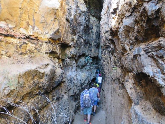
Economic geology field trip Cape Town area
The second year Earth Science students were afforded a learning
opportunity at historical mining sites in the greater Cape Town area. First
stop on the field trip was a morning jaunt up to the old tin workings on Jordan
Wine Farm, where students could observe endogranitic fracture-controlled
cassiterite (tin oxide) mineralisation. They were also treated to an excellent
overview and tasting experience of the geological controls on wine production
(i.e., terroir) provided by Ms. Thea van der Merwe (thanks Thea and Jordan
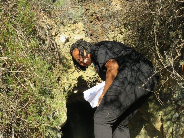
Wines!!). The next stop on the tour was the low grade manganese mineralisation
located above Chapmans Peak Drive in Hout Bay, which was mined between 1909 and
1911. After a short but strenuous hike, students were able observe the
mineralisation, map out the main mineralised fissure, and interpret the wall
rock alteration signatures.
Rooiels:
We visit the Rooi Els estuary to analyse parameters controlling
water composition and quality and to find relationships and connections between parameters. We aim to answer questions such as where does the water in the estuary mainly come from, from the Rooiels River or from the sea? So, if we assume the introduction of (hypothetical) anthropogenic pollutants into the river at an upstream site, would this affect the coastal water? Does the Rooiels river show signs of anthropogenic contamination? What about the Lourens River? ...

(above) 2nd year Earth Sciences students probing the Rooi Els river estuary
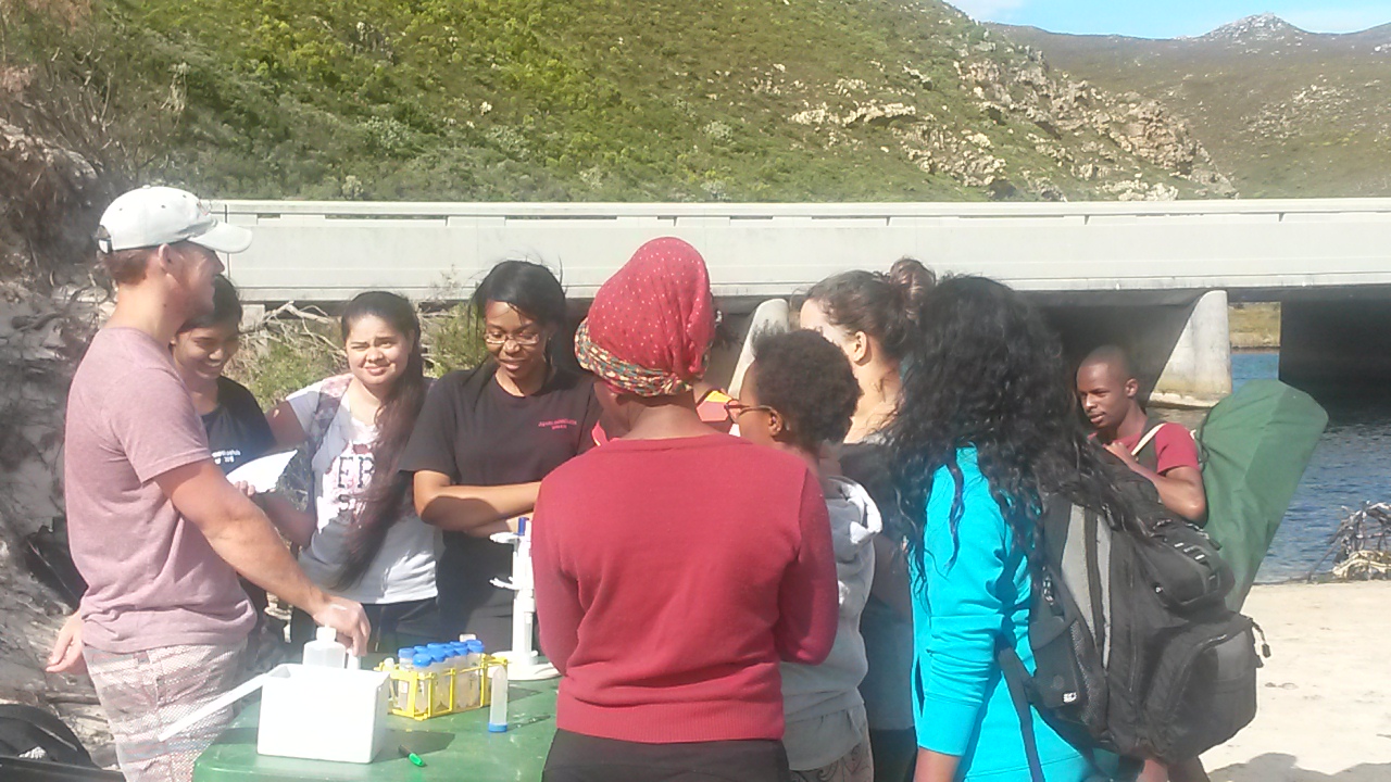
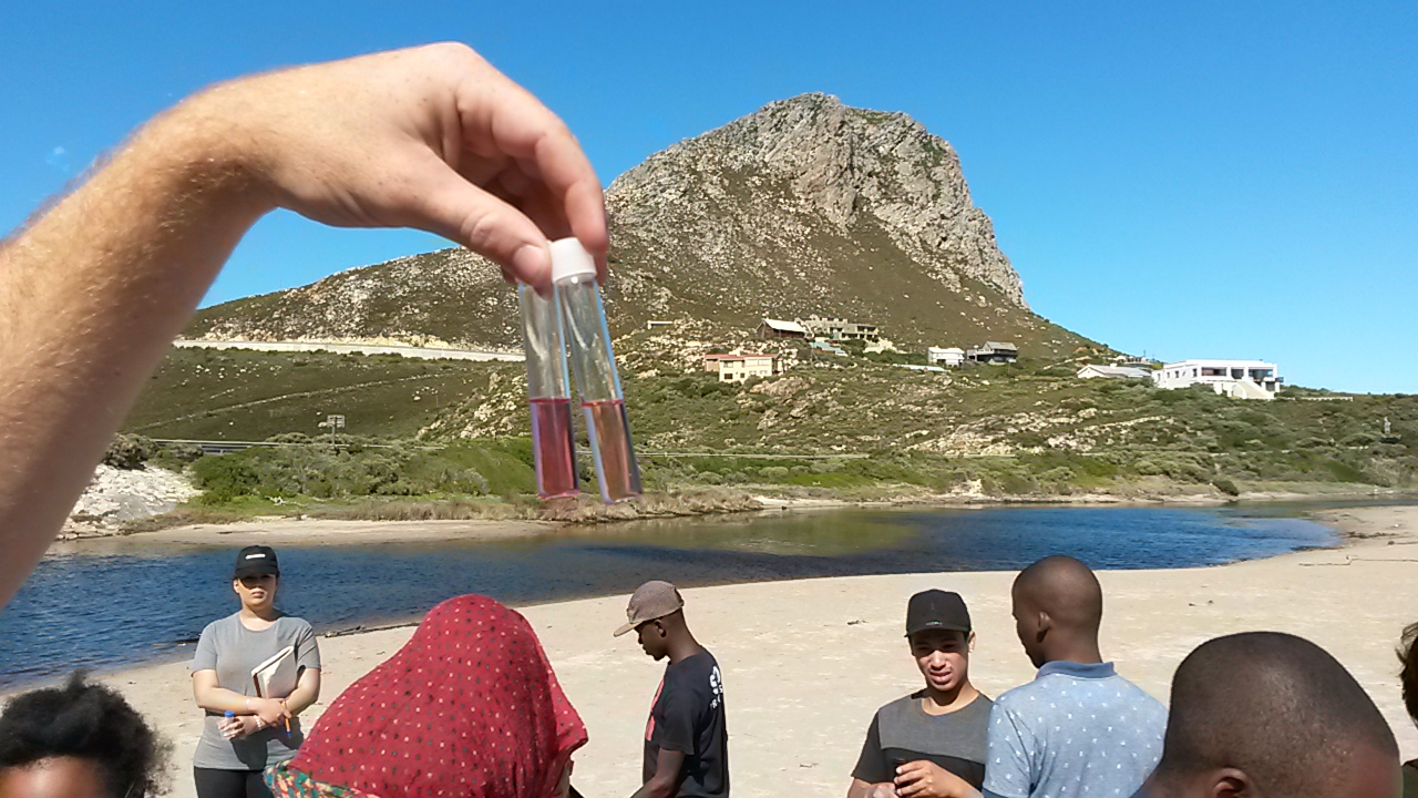
(left) Reuben explaining how to use the portable spectrophotometer. (right) Nitrate analysis.
Laingsburg:
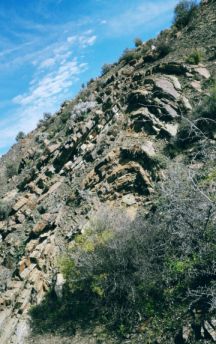
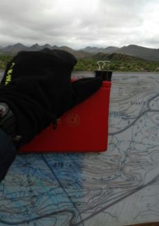
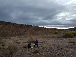
(left) parasitic fold of the Prince Albert Formation (middle) mapping (right) student mapping outcrop
Feedback from our students:
"There is always some trepidation before embarking on a field trip, the nerves start to kick in as the buses are being loaded up, cautiously you start to wonder whether you packed enough ....Armed with our hand lenses, hammers, field notebooks and mapping material we set out to try and gain some understanding of what the geology was doing. Depending on who your guide was for the day you either disappeared off into the open expanse of the terrain on your own or had some help to figure out what it is you were looking at....whenever you seemed to hit an all-time low, one of the assistants designated to the trip, would pop up seemingly out of nowhere offering their knowledge and guidance. ..." read more...
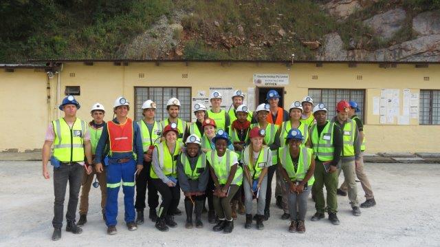
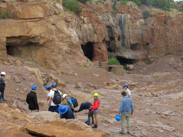
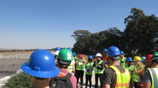
Impressions from the 2018 honours field tour
The field trip is an excellent opportunity to explore South Africa’s rich geological history; since we will be visiting outcrop spanning from the Archean (i.e., Barberton outcrop and mines) through to the Permian-aged Karoo coal fields. In addition, the students will be have the opportunity to learn important field work techniques (e.g., field mapping) and will be expected to concisely record all geological observations and field relationships in their notebooks (2017)
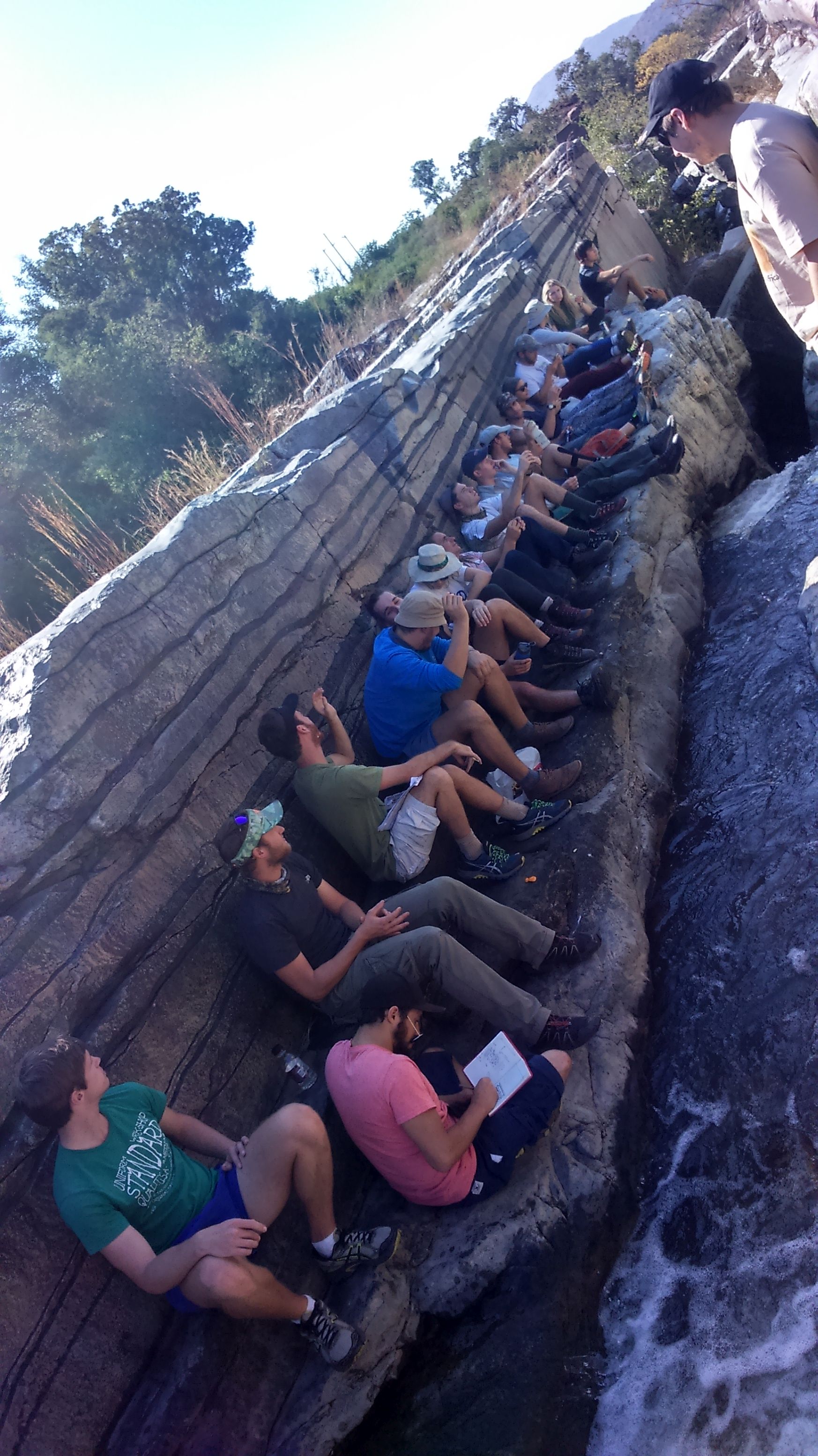
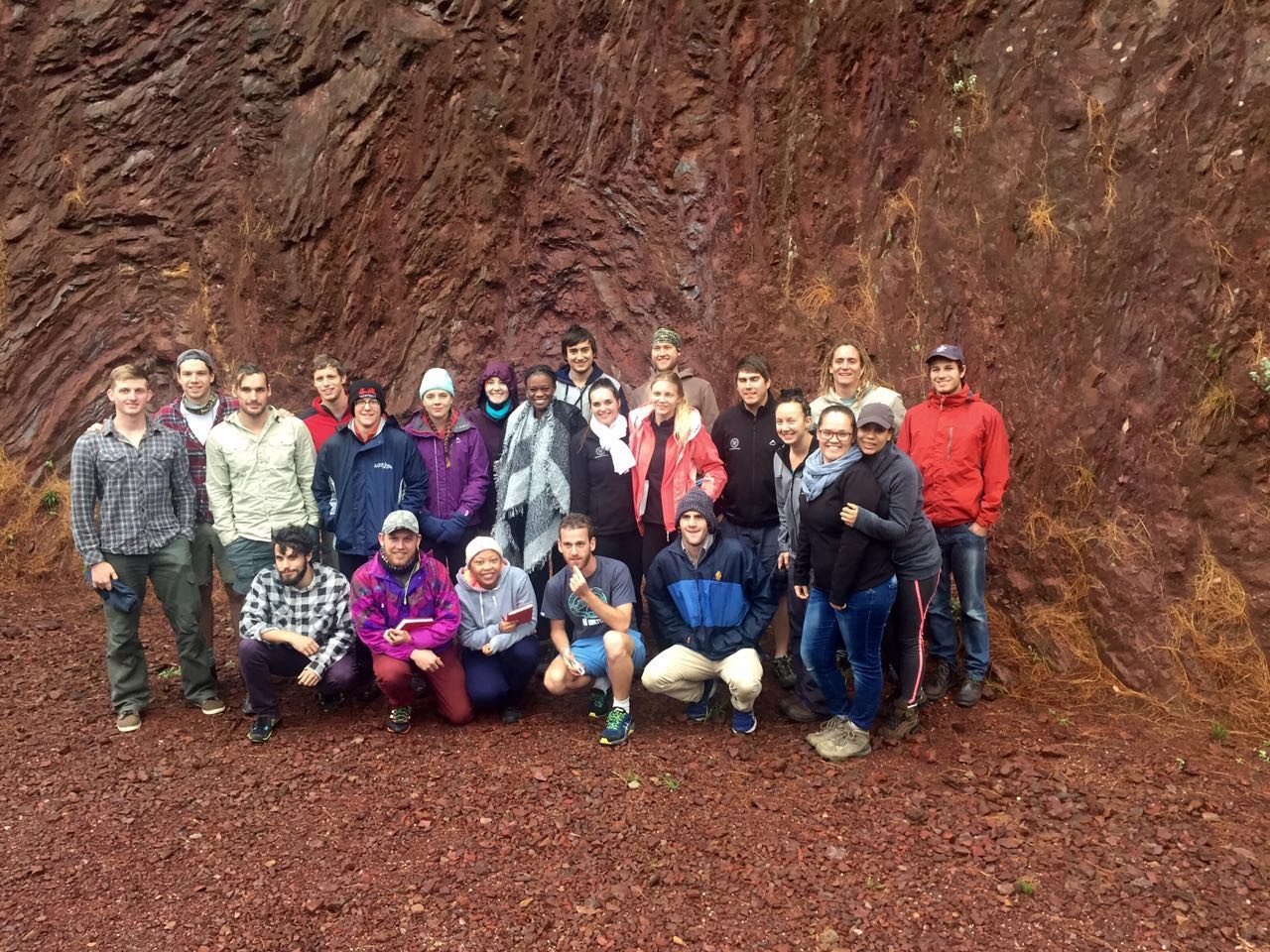
left: Field work at the Vredefort Dom (pseudotachylites, formed as
a result of frictional melting).
right: Honours class 2016 at outcrops of the Dwars River chromite and in Barberton
Feedback from our students:
"I believe that was the most valuable learning experience I have had since I have been at varsity. ... In my opinion fieldtrips are the best way to formulate your own understanding..." S. Teek
"...it opened my eyes to the field of geology... Our visits to the different mines were phenomenal..."
find more experiences of our honours students here...
